
Saaremaa, the largest island in Estonia, is in the Baltic Sea and separated from the mainland by the Moonsund Strait. A modern car ferry took us from Virtsu firstly to the smaller island of Muhu, which is often referred to rather disparagingly by those from Saaremaa as their doormat. The 30-minute crossing was €24.90 and whilst it was relatively busy, it ran bang on time.
Before driving across the causeway linking the two islands, we stopped at Uugu Cliff, a karst limestone escarpment shaped by ancient sea erosion. Although only seven to eight metres, there were great views, but it was very windy. Juniper bushes abounded with the berries being used in gin and the branches, with their antiseptic properties, being used to beat your body after a sauna. As they were quite prickly, we were pleased to hear they were softened in hot water first.
The 3.5km causeway, Väinatamm, was built in the late 1800s and never floods as it was built several metres above the average water level.
On route to our hotel, we passed several sights beginning with Orissaare’s stadium oak, a 150-year-old tree in the middle of a football pitch. Under Soviet rule, tractors reportedly tried to pull the oak out when the field was expanded, but the cables snapped, and the tree remains. It won European Tree of the Year 2015, with players now treating it as part of the game.
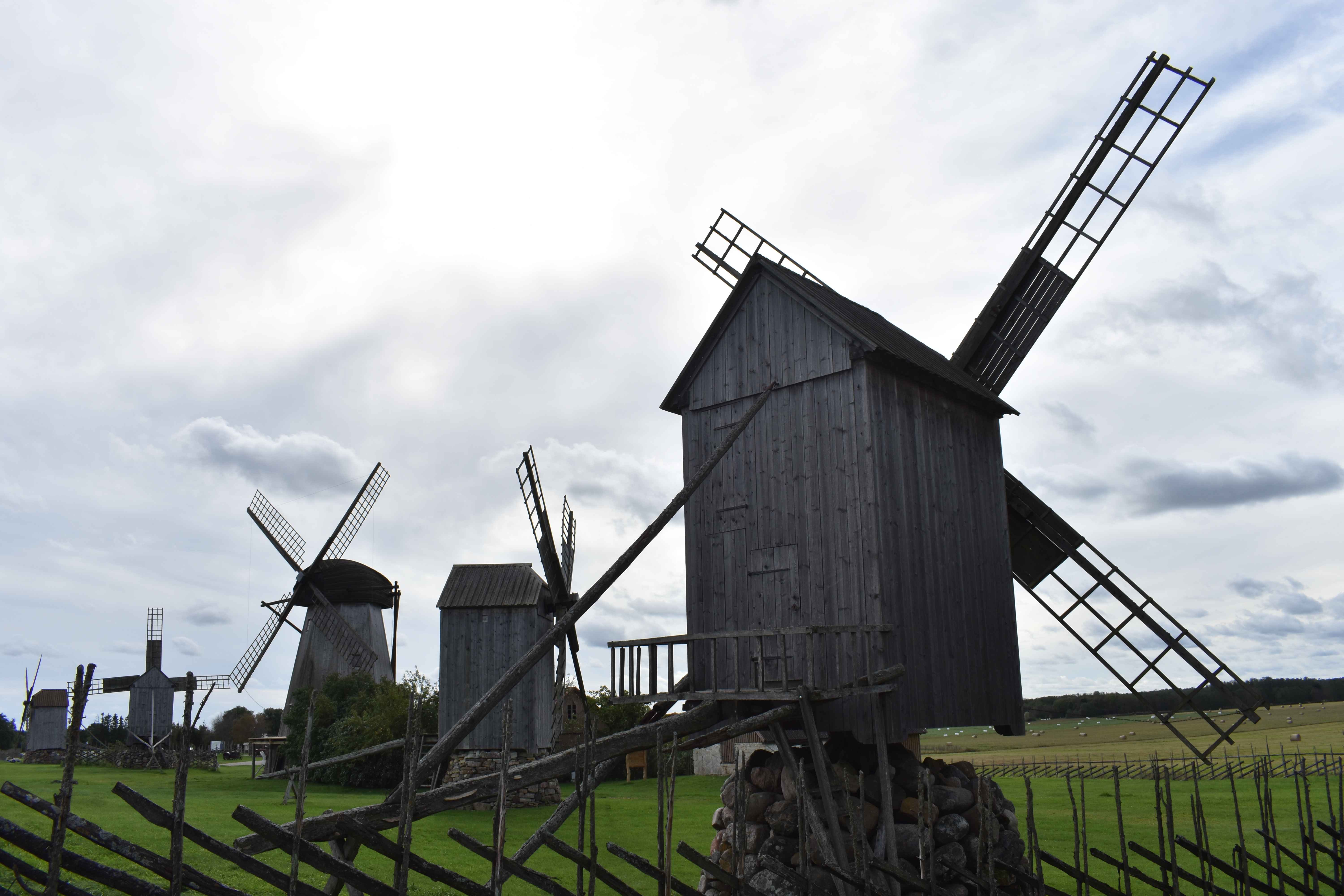
Although the Angla Windmill Park was closed on Mondays, we were able to photograph the five outdoor windmills. Four were ‘post-mills’, the traditional style of Saaremaa, where the entire body of the mill rotates, and one was a larger ‘Dutch-style’ mill built in 1927.
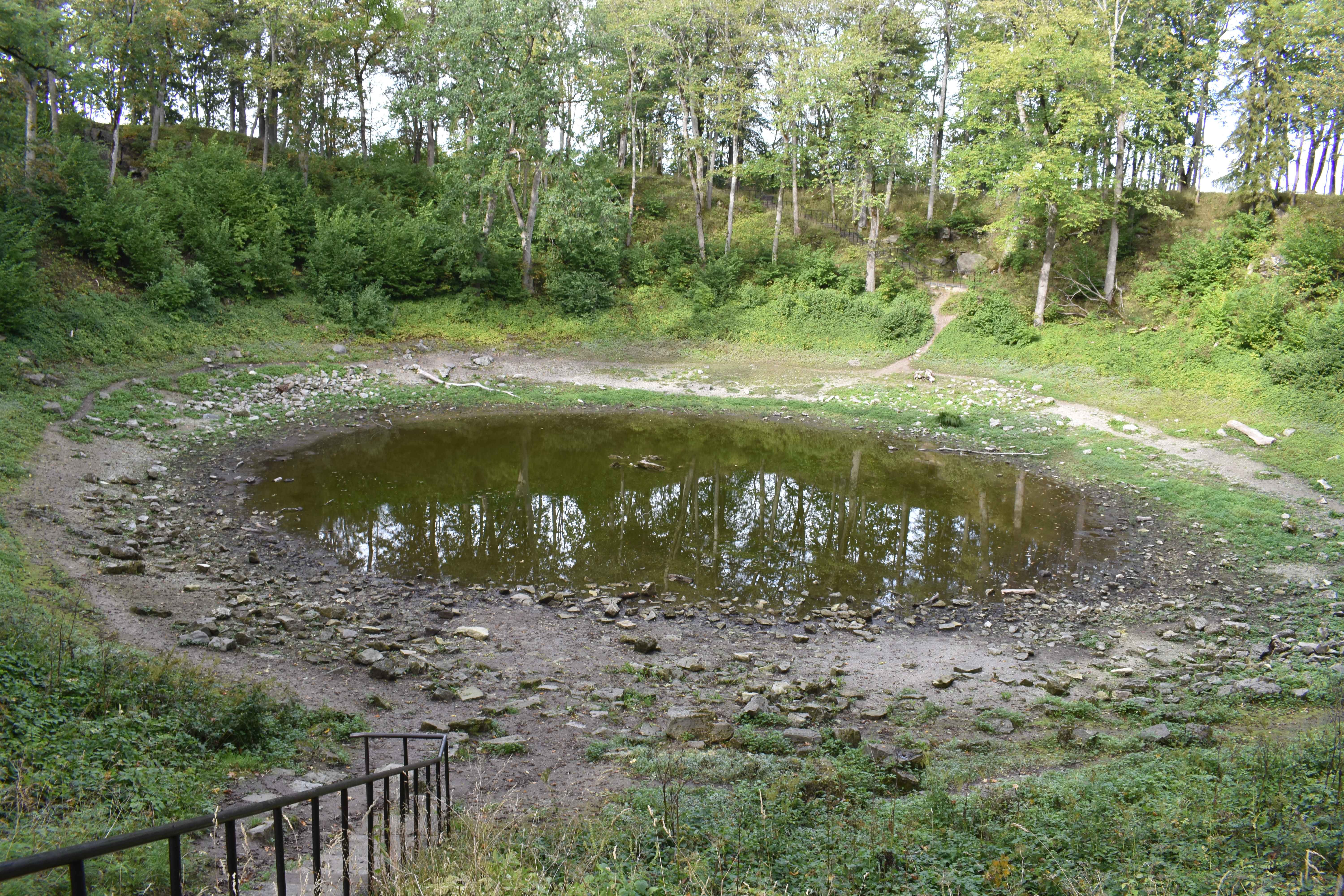
We found the final stop before reaching the hotel, slightly underwhelming, despite it being one of Estonia’s most remarkable natural landmarks. The shallow, large hole in the ground, called Kaali crater, was estimated to have been created between 1500 and 500 BCE, when an iron meteorite entered Earth’s atmosphere, broke apart, and struck the ground with enormous force.
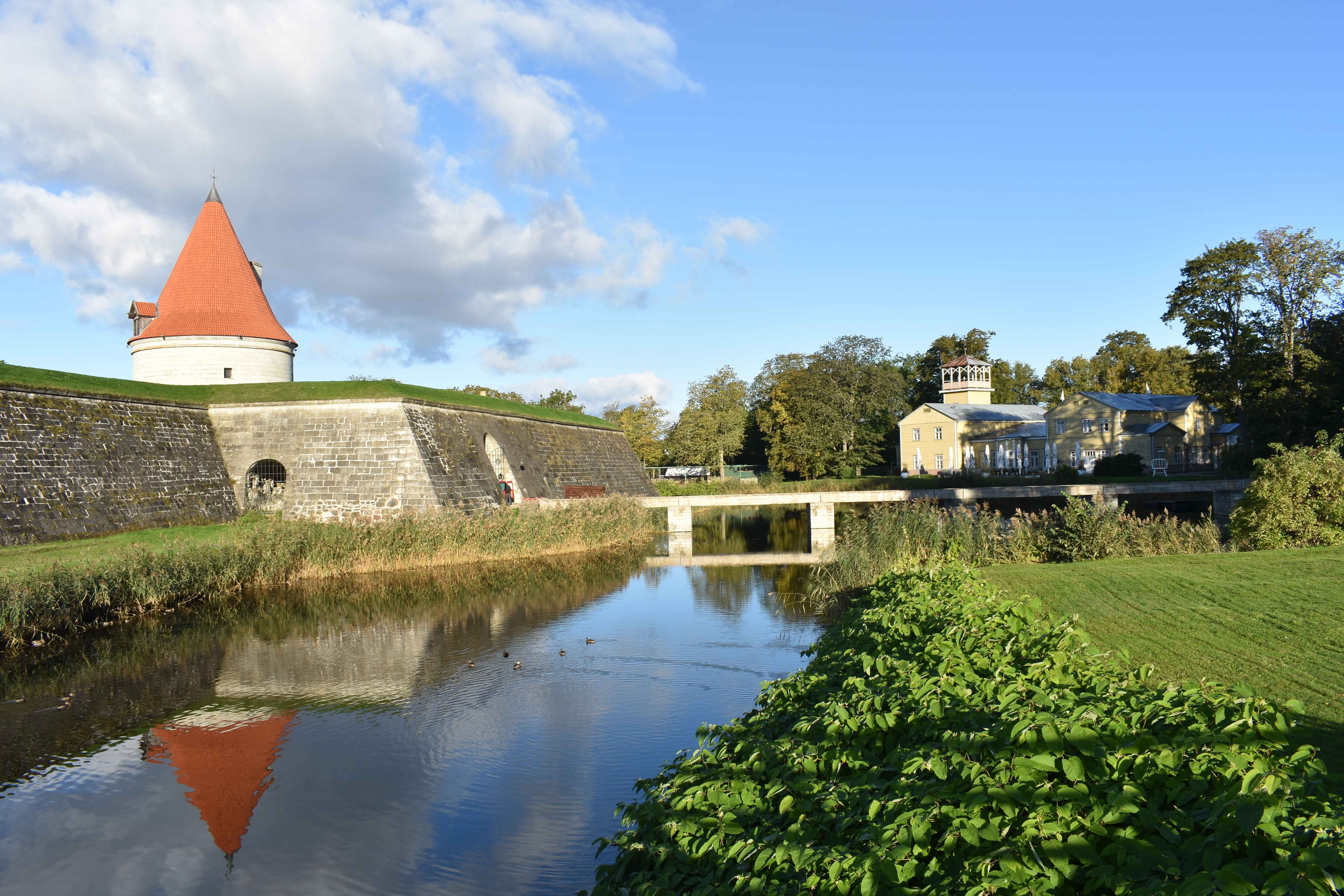
We stayed for two nights at the Hotel Eksparre in the main town of Kuressaare, where Kuressaare Castle, a well-preserved 14th century episcopal residence, could be seen from our bed. The castle museum was closed on Monday and Tuesday, but we enjoyed wandering the grounds and walking a path which ran around the moat.
To explore the rest of the island, which is around 90km long and 45km wide, a vehicle is essential as public transport is limited. We drove down to Sõrve Peninsula in the southernmost part of the island, which stretches out into the Irbe Strait between Saaremaa and the Gulf of Riga. On arrival we walked a stone labyrinth said to be a protection ritual. The low stones were laid directly on the ground and arranged in a single winding path that coiled inward and then back out. It was then upwards, climbing the 240 metal steps to the viewing platform of the 52m tall Sõrve Lighthouse, built in 1960. It was incredibly windy, due to the peninsula’s isolated position.
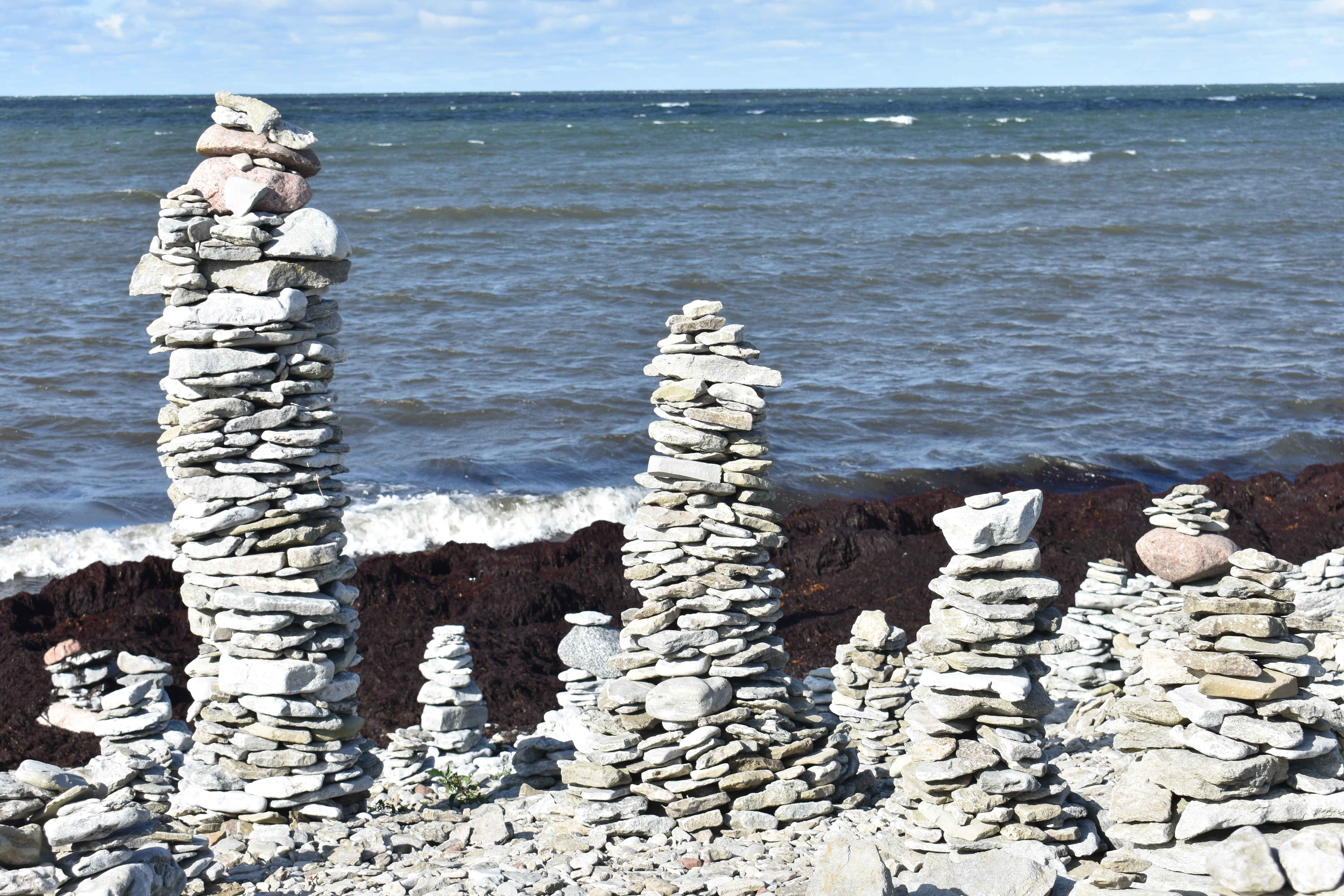
On the shore near Ohessoare were manmade pillars of stones or cairns of varying sizes and build, with one being over six foot tall.
We drove along the 11km Päranditee or Heritage Road, which during the Soviet era was in a military restricted zone. Patrolled by Soviet border troops, it was off limits to civilians, especially non-locals and foreigners. Road names, in both Russian and Estonian had been left in place, as well as yellow-and-black traffic signs.
Near Karala village, we stopped at Odalätsi springs, a group of karst springs where we filled our water bottles from the exceptionally clear groundwater emerging from fractured limestone bedrock.
On the northern coast we found Panga Cliffs, a long limestone escarpment, and the highest coastal cliffs in Estonia at over 21m. Once again it was windy, and due to the sheer drop, we didn’t get too near the edge to see the crashing waves.
We enjoyed our couple of days on the island with its mix of nature, history, and culture, and its island-specific pace of life.