Lynmouth and Lynton on the plateau high above, are a popular tourist destination and are connected by the ever popular “cliff railway.”:http://wasleys.org.uk/eleanor/presocialhistory/socialhistory/transport/rail/lynmouth_cliff/index.html
Lynmouth was originally a fishing village until the herring disappeared in the late C18th. It was ‘discovered’ by the Romantic poets in the beginning of the C18th, who quickly named the area as ‘Little Switzerland’. Paddle steamers from Bristol, Swansea and other Bristol Channel ports brought increasing numbers of holiday makers. Its popularity increased rapidly after RD Blackmore’s ‘Lorna Doone ‘ was published in 1869.
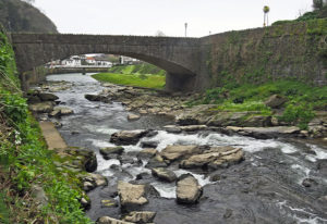
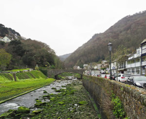
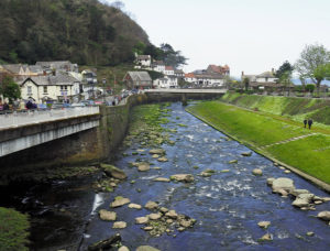
Lynmouth is set in the very steep gorge of the River East Lyn and entered the history books after the devastating flood in 1952 which is still one of the worst natural disasters in British history.
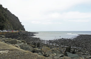
After days of torrential rainfall over Exmoor, fifteen inches of rain fell on 15th August. The saturated soils could hold no more water and flood water surged down the narrow valleys of the West and East Lyn rivers, sweeping boulders, trees and debris with them. Bridges collapsed and the flood water swept through Lynmouth demolishing nearly hundred buildings, 28 bridges and 132 vehicles. Over 114,000 tons of debris were deposited and 34 people lost their lives. The beach is still a mass of boulders washed down by the flood waters.
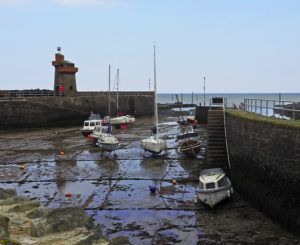
The wall of the tidal harbour was rebuilt to direct the flow of the river into the sea. The Rhenish Tower at the end of the breakwater is is a reconstruction of the 1850 tower which was destroyed in the flood. Named after its resemblance to the look out towers on the River Rhine, this was built in the late 1850s to store salt water for indoor baths.
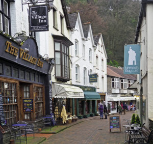
Before the flood, the only road in Lynmouth was the now pedestrianised Lynmouth Street, with its shops. Riverside Road, now the main road, was built after the flood on what was the river bed.
The River west Lyn flows down a steep gorge into the East Lyn in the village. The “Glen Lyn Gorge”:http://www.theglenlyngorge.co.uk/Glen_Lyn_Gorge.htm walk is a series of footpaths leading to waterfalls and viewing areas with information about renewable energy.
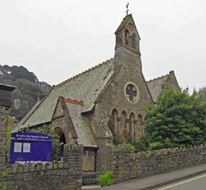
The “Church of St John the Baptist”:http://wasleys.org.uk/eleanor/churches/england/south/southwest/lynmouth/index.html is a small stone building in the centre of the village next to the River East Lyn and is surrounded by an attractive memorial garden. It is open daily.
Although it was flooded in the 1952 floods, it was one of the few buildings to escape with little structural damage. The now unused south aisle has an exhibition with display panels about the village and the effects of the flood.
The church was built in 1870 and the south aisle was added later. The small belfry was added in 1921 as a memorial to the dead of the Great War.
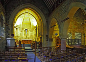
It is a simple building with nave and apse chancel and an arcade of round pillars and pointed arches leading into the large south aisle. The style with its lancet windows is very much Early English rather than Victorian Gothic.
The nave has a wood beamed roof. The apse has a vaulted stone roof. The wood altar has a carved front. The east window depicts the crucifixion.
There is plenty of parking alongside the river next to the church and it is best to park here rather than in Lynton.
